|
Data recording Protocol
|
"Bird Where you want, when you want. And the computer will work it out from there"
|
Recording sightings with g-Bird iPhone & Android smartphones ensures
-
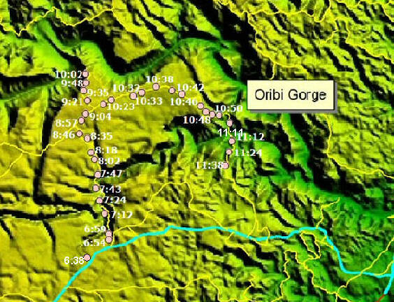
All sightings are recorded with exact GPS accuracy
-
All sightings have exact Date-Time
-
Out-of-Range Sightings are Flagged in Red font on the Phone to immediately alert the
birder to a possible mis-identification of the bird and be able to re-id the species while it is
still in front of them if needed.
In this way, the phone helps to provide a first level of validation for each sighting which helps to maintain the accuracy of
the sightings and overall results created.
-
Each Trip-List records whether all Species encountered were recorded
-
Easy to record data
Sightings Analysed show
-
Reporting Rate Percentage (Commonness) per Species
-
Migration Timing
-
Densities
-
Vegetation preference
-
Species Richness in an Area
|
So how does it work ?
|
|
How does the Data get Analysed ?
Sightings submitted where the User records all Species that were encountered while birding can be used to create
Reporting Rates. How is this done ?
1) Overlay a GIS Grid dataset (such as 15 x 15min or 5 x 5min)
2) Set a minimum Time-Spent-Birding per Square (such as 2 hours of Effort)
3) Calculate which squares meet the Criteria of 1 & 2 above
4) Reject the other squares where the birder entered (these sightings used only as Incidental sightings)
Flexibilty
At 30.3 million km sq Africa is the world's second largest continent with nearly a quarter of the
world's birds (2600 species) but also the fewest birdwatchers to record data.
Therefore it is important that a practical data collection protocol is used where meaningful information can be
calculated with regards to Migration Arrival & Departure Dates, Habitat preferences and Reporting Rate Percentage.
Most importantly, because the data was captured at exact GPS accuracy with exact DATE-TIME, data can be analysed
against ANY sized grid or Vegetation dataset
|